GIS Sites in Belgium

TL;DR: Each province has its own GIS site.
In the quest of purchasing the land, I've found out there are several layers of plans. The most generic ones are the Federal plans. They are very good for land delimitation and such, less for planning and zoning. The most specific ones are called "Plan Particulier d'amenagement" (PPA), which contain decisions taken by the commune.
What has the above planning to do with GIS? Well, everything, in the sense that the GIS tool offered by the federal system has only the information from the federal plans... and when you're looking for something like "Am I allowed to build there?", you may not find it there. This is why I've compiled a list of provided GIS systems I've found in my quest of finding information about my land.
Federal
The federal GIS tool is found from this page. Once you've entered the name or postal code of the commune, you'll find another page where the online tool is pretty hidden out (at the moment of writing this). The tool itself is found here. You'll get something like this:
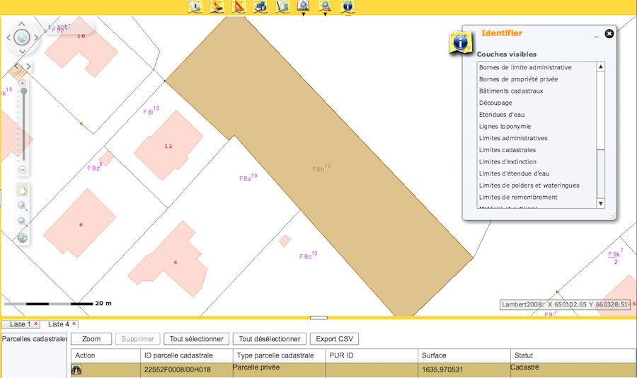
As you see, not too much :(
Regional
Fortunately, regions have their own GIS tools, if you want to find more. Flanders has one for each of the provinces, and I could find a single tool for all of Walloon region.
Flanders has a geopunkt site:
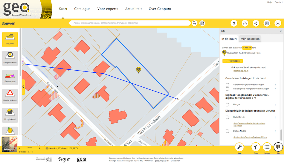
It gives you better info, but it doesn't include the PPAs.
West Flanders
The GIS site for West Flanders is pretty easy to find. The "basic internet" version gives you an idea of what's on your parcel:
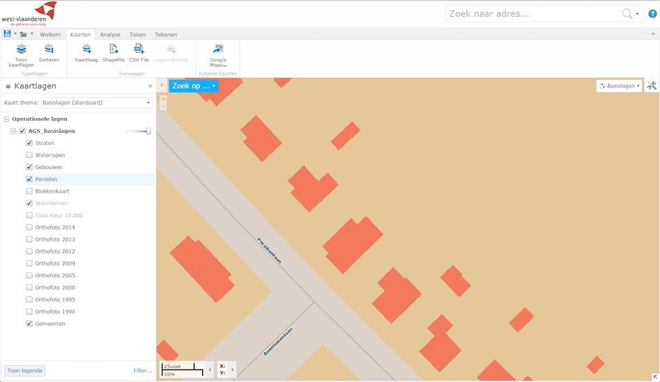
The "Geoloketten" include a cadastral plan too, but it's for authorised users. I guess, it's the Commune again :)
East Flanders
East flanders is organised and you have a fairly good structure to finding the GIS tools. (Un)fortunately, you need Flemish. You can get to the tool from the GISOost site. I found it confusing from GISOost, so I used the links from the portal and ended up here with a rather bare map
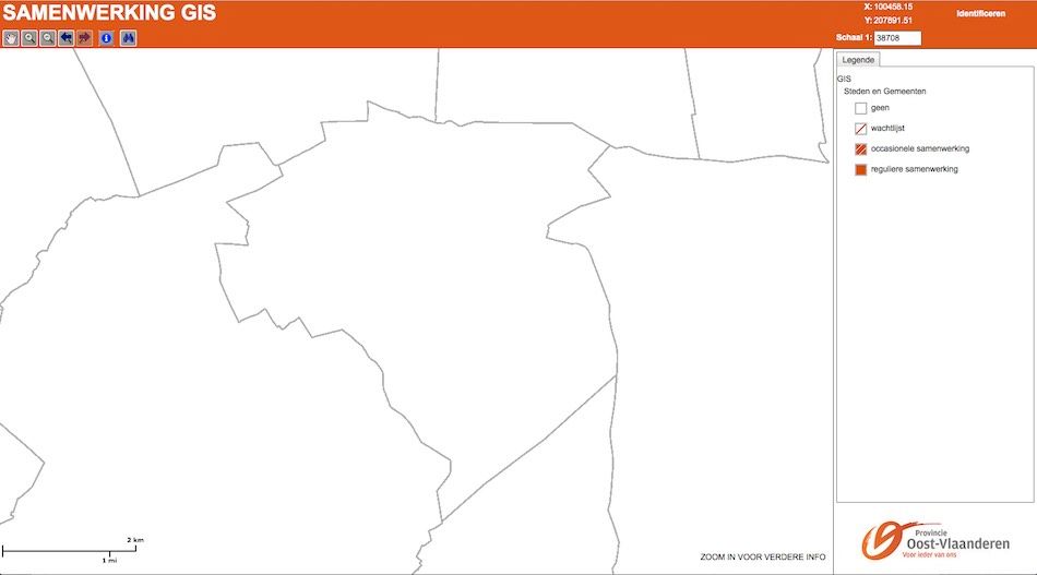
With my poor Flemish, I understood that they rather offer paid services to get the plans... So, go to the commune!
Brabant Region
The Brabant region has its own (doh!) website. They say they aggregate information from some communes too, which means you'd have access to the PPAs, so you might be in luck! The site itself can be found here and looks like this:
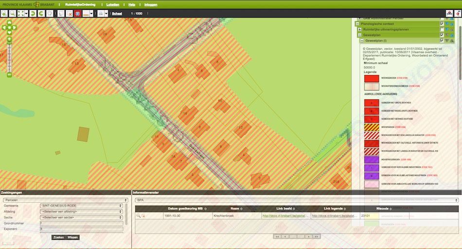
You'll need to fiddle with the options to get what you want :)
Walloon Region
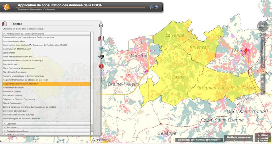
The Walloon region GIS tool is found from this page. I found this page giving you thematic information. I have not had the chance to explore it in-depth, because my plot is in Flanders.
Conclusion
Be careful and investigate things well before you buy land in Belgium. Go to all levels for information on your land, go to the Commune where your plot is and get stuff in writing.
